
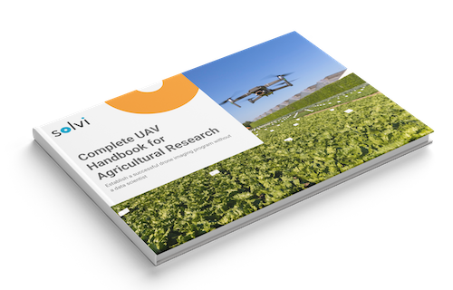
Thanks for downloading the Complete UAV Handbook for Agricultural Research
It’ll be delivered to your email within the next 10 minutes.
Ready to Get Started?
Solvi offers a complete solution for drone-based mapping and assessment of field trials.
- Automated stitching of RGB and multispectral imagery into accurate maps
- Advanced editing tools for digitizing field trials
- Extensive statistics for each plot in a single click
- Plant counts with plant-level data powered by PlantAI™
- Easy reporting and sharing using GIS or Excel formats or shared web links
Hear what our customers have to say
“We probably save a little money and a good amount of time from Solvi’s analytics. But where we really gain is in the trust we have in our decisions and our data management processes. We definitely plan on continuing with Solvi for the foreseeable future.”
William English
Nordic Beet Research, Sweden
“We are amazed that Solvi’s Plant AI™ detection model is robust enough to work on different crop types from seedlings to crops to fruits, with relatively little labeling required. Solvi is very easy for a new user to quickly pick up. And the user-support experience from Solvi is the best by far for all SaaS solutions we have used in the past.”
Wex Woo
Rijk Zwaan, Australia
“DTI’s imagery volume and internal process is unique. But Solvi offers all that is needed from a farmers/agronomist and trial facility point of view. We have been pleased with Solvi as a platform, as well as from the responsiveness of its customer support, look forward to continuing our collaboration.”
Thomas Nitschke
Danish Technological Institute, Denmark
