Turn your drone into the ultimate field scout
The easiest and quickest way to scout, ground-truth and share leaf-level data about your crops and fields
Try Solvi Scout For Free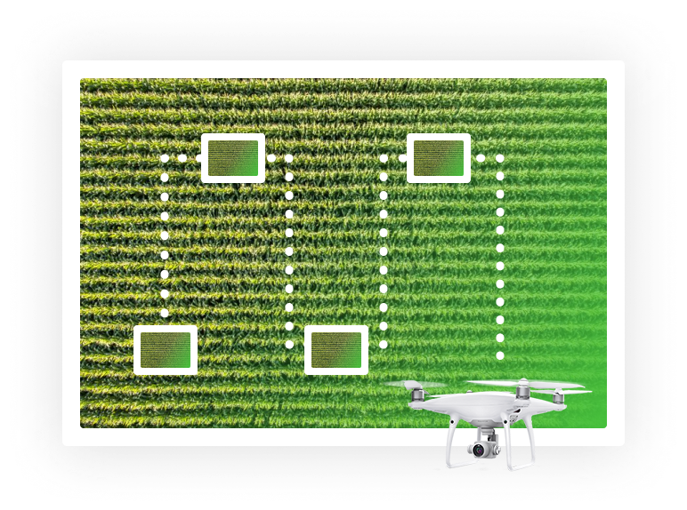
Scout fields efficiently
Unlock the scouting potential of your drone or mobile device. Use your drone to replace miles of walking and reach even the most inaccessible parts of your field. Just put your drone in the air and capture the current state of your crops from high above for a better overview or right above the leaves to spot diseases or pest infestations. Or snap a few shots with your phone immediately when you first discover a potential problem.
- Fly manually or use automated waypoints
- Take photos from any altitude and angle
- Collect images with a drone, mobile phone or tablet
From bird's-eye view to the leaf-level
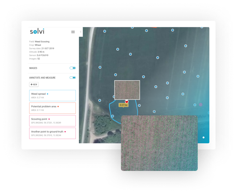
View your scouting images on a map to get the context on where the observations were made. With the new detailed photo view, you can dive deep into every image and inspect even the smallest details at a leaf level. Make notes and measure areas of interest to document and get the most out of your scouting data.
- Get an overview of where images were taken
- Inspect every image at a leaf level
- Make notes and annotations to document findings
Collaboration starts here
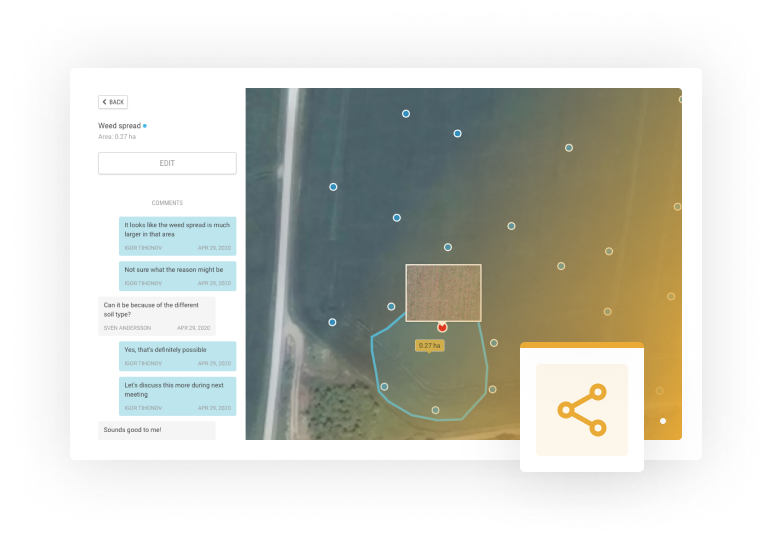
Share your scouting data with clients, agronomists, or fellow farmers easily via web links. Start a conversation around your notes and findings and get advice from experts. With Solvi Scout it is easier than ever to share and collaborate on the field data and findings.
- Share scouting data via web links
- Have a conversation using the Comments tool
Explore

Ready to get started?
Start scouting your fields and getting insights today
Try Solvi Scout For Free